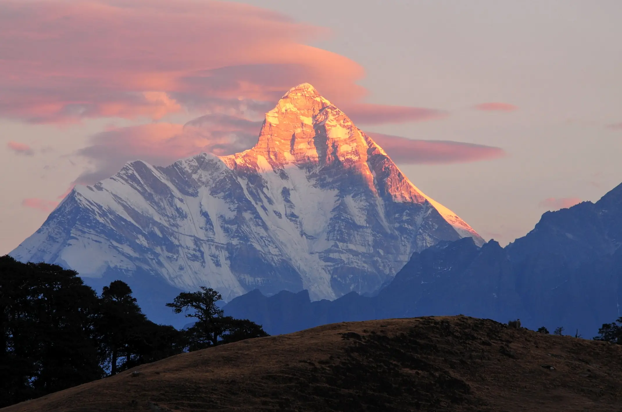
Satopanth Lake is a sacred triangular glacial lake at 4,600m altitude near Badrinath in Uttarakhand. The trek covers 24 km one way from Mana village (India's last village), passing through Laxmi Van, Chakratirth and Satopanth meadows. Known for its turquoise glacial waters, rare Brahma Kamal flowers and close-up views of Swargarohini, Chaukhamba and Neelkanth peaks. Best visited between May–June and September–October.
About Satopanth Lake
Satopanth Lake is a high-altitude triangular glacial lake situated at 4,600 metres (15,092 ft) in Chamoli district, Uttarakhand, India. Located 24 km from Mana village near Badrinath, it is fed by the Satopanth Glacier and holds deep Hindu religious significance as the meditation site of the Hindu Trinity — Brahma, Vishnu and Shiva.
(also written as Satopath) This breathtaking lake is nestled at 4,600 metres in Chamoli district, Uttarakhand. The lake takes its name from the Sanskrit words Sato (truth) and Panth (path) — meaning the Path of Truth — and holds deep religious significance in Hindu mythology.
The lake is unique for its near-perfect triangular shape. According to legend, each of the three corners of the lake is the meditation spot of one of the Hindu Trinity — Brahma at one corner, Vishnu at another, and Shiva at the third. It is also said that the lake is the source of one of the tributaries of the Alaknanda river, itself a sacred Char Dham pilgrimage river.
The Satopanth Lake trek begins from Mana village near Badrinath — the last inhabited village on the Indo-Tibetan border in India. Mana is just 3 km from Badrinath temple, making it easy to combine with a Badrinath Char Dham Yatra visit.
Key Facts About Satopanth Lake
- Altitude: 4,600m (15,092 feet) above sea level
- Location: Chamoli district, Uttarakhand — near Badrinath
- Lake Type: Glacial (fed by Satopanth Glacier)
- Shape: Triangular (natural formation)
- Trek start: Mana Village (3,214m) — 3 km from Badrinath
- Trek distance: ~24 km one way from Mana village
- Best season: May–June and September–October
- Permit required: Forest permit + Inner Line Permit (ILP)
- Nearest town: Badrinath (3,133m) — 24 km from lake
- Flora: Brahma Kamal, Aconitum, Himalayan Blue Poppy
Satopanth Lake Trek Itinerary — Day by Day
The standard Satopanth Lake trek is a 3–4 day trek from Mana village. Most trekkers combine it with a Badrinath Dham visit, spending a night at Badrinath for acclimatisation before starting the trek.
Day-by-Day Route Summary
| Day | Route | Distance | Altitude | Highlight |
|---|---|---|---|---|
| 0 | Arrive Badrinath | — | 3,133m | Acclimatisation + temple darshan |
| 1 | Mana Village → Laxmi Van | ~8 km | 3,800m | India's last village, forest trail |
| 2 | Laxmi Van → Chakratirth | ~8 km | 4,200m | Alpine meadows, Brahma Kamal |
| 3 | Chakratirth → Satopanth Lake | ~8 km | 4,600m | Glacial lake, Swargarohini views |
| 4 | Return to Mana Village | ~24 km | 3,214m | Descent via same route |
* Distances are approximate. The return journey can be split over 2 days for a more comfortable trek. Tour Venture India provides custom itineraries — call +91-8057146497 for details.
Highlights & What to See at Satopanth Lake
The Satopanth Lake trek is far more than just the lake — the journey itself is filled with spectacular Himalayan scenery, rare flora and religious significance:
- Turquoise glacial water
- Perfect triangular shape
- Brahma, Vishnu & Shiva corners
- Satopanth Glacier feeding the lake
- Swargarohini (6,252m)
- Chaukhamba (7,138m)
- Neelkanth (6,596m)
- Balakun & Kunaling peaks
- Brahma Kamal (state flower)
- Himalayan Blue Poppy
- Aconitum (Monkshood)
- Rhododendron forests
- Mana Village — Vyasa's cave
- Saraswati River origin
- Bhim Pul (natural rock bridge)
- Chakratirth holy pond
What to Pack & Safety Tips for Satopanth Lake Trek
At 4,600m, the Satopanth Lake trek demands proper preparation. Temperatures can drop to 0°C even in summer nights. Here is what every trekker must carry:
- Thermal inner layers (top + bottom)
- Fleece jacket + waterproof windcheater
- Trekking boots with ankle support
- Woollen hat, gloves & neck gaiter
- Trekking pole (highly recommended)
- Sunglasses (UV400+) & sunscreen SPF50
- Water bottles (3 litres minimum)
- Energy bars, dry fruits, trail mix
- First aid kit with Diamox (AMS tablets)
- Headlamp with spare batteries
- Rain cover for backpack
- Sleeping bag rated to −5°C
Acclimatise for at least one night at Badrinath (3,133m) before starting the trek. If you experience headache, nausea, dizziness or breathlessness, descend immediately. Do not ascend further with AMS symptoms. Tour Venture India treks are guided by experienced local guides trained in altitude emergency response.
How to Reach Badrinath / Mana Village for Satopanth Trek
Haridwar (315 km) and Rishikesh (298 km) are the nearest major railway stations to Badrinath. From the station, take a private taxi or shared jeep to Badrinath (~10–12 hrs via Rishikesh–Joshimath–Badrinath road). Tour Venture India provides direct taxi service from Haridwar.
Jolly Grant Airport is the nearest airport (~330 km from Badrinath). Hire a private cab from the airport directly to Badrinath or Joshimath. Tour Venture India provides airport pickup and drop — call +91-8057146497.
UKTRC (Uttarakhand Transport Corporation) runs daily buses from Haridwar and Rishikesh to Badrinath during the Char Dham season (May–November). Buses are economical but slower than private taxis.
Haridwar → Joshimath → Badrinath: ~315 km (~11 hrs). Delhi → Badrinath: ~520 km (~16 hrs). Mana village is just 3 km from Badrinath — the trek begins here. Tour Venture India offers door-to-door cab service for all Satopanth trekkers.